Jason Davis • Jul 29, 2014
Landsat 8 Looks at the Supermoon
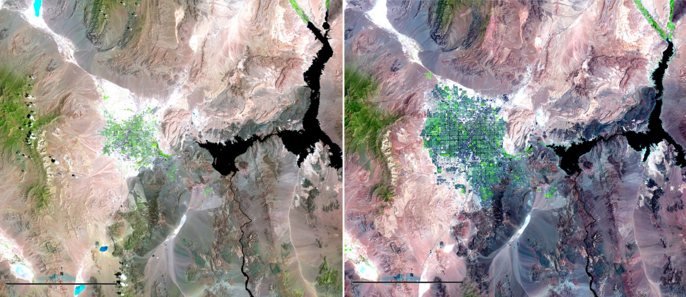
NASA's Landsat spacecraft have been continually observing our dynamic planet for more than 42 years. The program is the longest running global Earth survey in existence. Landsat images are used to monitor things like urban sprawl, deforestation, natural disasters and invasive species. They form the ultimate toolkit for researching the way humans interact with our ever-changing environment.
Why, then, would Landsat 8—the most current iteration of the satellite series—turn its unblinking eyes toward the July 12 supermoon? It was all part of a monthly calibration routine. Looking at the moon is Landsat’s version of a trip to the optometrist, designed to ensure the spacecraft's detectors are in tip-top shape.

Landsat’s primary instrument is the Operational Land Imager, or OLI. The OLI has four mirrors that focus light coming from Earth onto a set of 14 Focal Plane Modules—FPMs. All together, the FPMs house 7,000 detectors that record light in a variety of spectral bands. There's a red, green and blue band. A deep blue band for shallow water and fine particles like dust and smoke. A near infrared and shortwave infrared band. A panchromatic band. There's even a band that looks for cirrus clouds that can be digitally subtracted from other images.
Landsat orbits the Earth every 99 minutes in a polar, north-south pattern. It travels in a sun synchronous orbit, meaning it passes over each spot on the Earth at the same time each day. This means Landsat’s images will always be captured when the sun is roughly in the same position. As an example, NASA's Eyes on the Solar System app shows Landsat crossing over The Planetary Society's Pasadena, Calif. headquarters every 16 days around 11:45 a.m. local.
Consistency is the key to Landsat's unbroken history of Earth observations. That makes it essential for OLI's detectors to always measure light the same way, even after years in space. Otherwise, scientists wouldn't be able to tell if a river valley was really getting drier, or if the spacecraft's detectors were fading.

In order to calibrate its detectors, Landsat must regularly look at something with a known level of brightness. That way, if a calibration image appears different over time, scientists will know it's the detectors that have changed, not the image. If that happens, it's not necessarily a problem—Landsat's image processing software can be modified to account for the difference.
But what can Landsat look at to do this? There aren't many swaths of our planet that reflect the same amount of light over time. Even seemingly good targets like the Sahara Desert lack long-term regularity. In the past, Landsats have used onboard lamps that flood the spacecraft's detectors with a consistent amount of light. But on Landsat 7, the lamps themselves faded. Landsat 8 is still equipped with calibration lamps, but mission planners wanted a more reliable target. They turned to the moon.
The moon has no atmosphere, and with the exception of the occasional new impact crater, the amount of light it reflects is constant—assuming the calibration image is always captured at the same point in the lunar cycle. The moon's path around the Earth, however, isn't a perfect circle—it's an ellipse. The moon comes as close as 363,000 kilometers (226,000 miles) at perigee and recedes to 406,000 kilometers (252,000 miles) at apogee. That means that the U.S. Geological Survey, which processes Landsat data, must compute the moon's expected brightness using its current distance. Distance data is provided by the Robotic Lunar Observatory, an automated moon tracking telescope located in Flagstaff, Ariz.
When a full moon occurs near perigee, it appears up to 14 percent bigger and 30 percent brighter on Earth. This happens every 13 or 14 months, and the event is colloquially called a supermoon, though the term has no real basis in astronomy. There can be more than one supermoon in a row, and in fact, that's happening this summer. There was a supermoon in July, and the full moon will occur near perigee in August and September—a triad of supermoons.
Does a supermoon wreak havoc on Landsat's calibration images? No. In July, the USGS simply calculated the moon's expected brightness like they would in any other month. But as a benefit, we Earthlings get a ready-made visual that illustrates the size difference between a regular full moon and a supermoon. Ground-based telescopes can take equally good photographs, of course, but Landsat's shot of the supermoon was captured at a speed of 27,000 kilometers per hour (17,000 miles per hour).
The lunar calibration images are taken when the moon is eight degrees past full, meaning the eastern edge has slightly began to fade. Why not take the image precisely at full moon? Waiting means the spacecraft will always be able to avoid imaging a lunar eclipse, which would throw off the calibration data.
It takes Landsat 99 minutes to make one lap around the Earth, pole to pole. Half of that time is spent in Earth's shadow. The calibration sequence begins as Landsat passes over Antarctica and heads north into darkness. The flight operations team at NASA's Goddard Space Flight Center commands Landsat's reaction wheels to slowly slew the spacecraft toward the moon. It takes 15 minutes to get into position.
The moon must be focused on all 14 of Landsat's Focal Plane Modules—one at a time. It takes 18 minutes to do eight FPMs. By then, only 15 minutes of darkness remain, so Landsat swivels back to Earth for a normal daylight pass. On the next orbit, the process is repeated with the other six FPMs, and one is repeated. The duplicate scan allows the Landsat team to account for any differences between the two orbits.
Then, it's back to business. Landsat continues to scan the Earth, and its images are adjusted based on the results of the calibration. The spacecraft collects about 540 gigabytes of data per day—more than 16 terabytes each month. And among the voluminous pictures LandSat sends back to Earth are a few snapshots of the moon—occasionally, a supermoon.
Thanks to the U.S. Geological Survey for providing access to Landsat 8's lunar calibration images.
Landsat looks to the moon NASA explains how Landsat 8 uses the moon to calibrate its systems.Video: NASA Goddard Space Flight Center
Let’s Go Beyond The Horizon
Every success in space exploration is the result of the community of space enthusiasts, like you, who believe it is important. You can help usher in the next great era of space exploration with your gift today.
Donate Today

 Explore Worlds
 Find Life
 Defend Earth


